
GeoSolutions at FOSS4G 2026 in Hiroshima
Dear Reader,
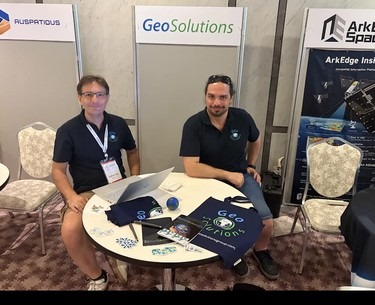
We are back from FOSS4G 2026 in Hiroshima, Japan, and we want to share what we presented and what we brought home. With up to 14 parallel tracks, this year’s global edition was dense: two days of workshops, three days of talks, and plenty of conversations at the booth.
GeoSolutions attended with one representative per product line: Andrea Aime for GeoServer, Lorenzo Natali for MapStore and Stefano Bovio for GeoNode. Together they delivered 5 workshops and 14 presentations, and GeoSolutions supported the event as a sponsor, continuing our long-standing commitment to the OSGeo community and to open geospatial standards.
Workshops
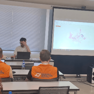
The conference opened with two days of hands-on workshops. Our team ran five of them, covering the three products end to end: an introduction to GeoNode, an introduction to MapStore, a developer session on building MapStore extensions, and two GeoServer 3 sessions on OGC APIs and on vector tiles. The introductory slides are embedded below, the full workshop material is available on request.
Introduction to GeoNode
Introduction to MapStore: Open Source Webmapping Made Simple
MapStore: Development of an Extension
Vector tiles with GeoServer 3
OGC APIs, an introduction with GeoServer 3 (hands-on session, material available on request)
Our Presentations
Below you can find all the presentations delivered by our team, grouped by product. If you missed the event or want to revisit some of the content, everything is embedded here for easy access.
GeoServer
GeoServer 3 Complete: final update
GeoServer 3 Tour
OGC APIs with GeoServer 3: implementation, availability and next steps
Vector tiles and GeoServer: dynamic vector tiles server, XYZ services, and base maps
Serving earth observation data with GeoServer: addressing real world requirements
Lessons from Running GeoServer at Scale
Mastering Security with GeoServer, GeoFence, and OpenID
Operating Maritime AIS at Enterprise Scale with GeoServer
Supporting precision farming with GeoServer: past experiences and way forward
How GeoSolutions supports GeoServer, GeoNode and MapStore (sponsor session)
MapStore
State of MapStore
Explore open-source tools for creating digital urban models with MapStore
GeoNode
State of GeoNode
GeoNode: Use Cases & Custom Applications
What we brought back
A conference is also a way to check where the community is heading. A few things stood out for us in Hiroshima.
Cloud-native formats are no longer new, they are expected. The data track was the largest of the program, and GeoParquet, Zarr, COG, PMTiles, STAC, DuckDB and GeoArrow were everywhere. GeoServer already handles COG, STAC and PMTiles, partly through community modules, and Zarr is the gap we know we have to close, especially now that ESA is moving Sentinel-2 to Zarr. We are working on consolidating this support in both GeoServer and MapStore, and if you need these formats in production we would like to hear from you.
AI is getting operational. Around twenty talks covered LLMs, agents and MCP servers: natural language queries over STAC catalogs, conversational analysis, MCP servers on national data platforms. Less hype than last year, more working systems. On our side, we are working on an MCP server for GeoServer. The plan is still taking shape, but it will certainly cover the OGC services, and administration is on the table as well. If this is something you care about and you would like to collaborate, or help fund the work, get in touch.
GeoServer remains the reference server, and what people ask for is support. GeoServer talks and workshops were well attended, and the feedback on the new GeoServer 3 UI was positive. The most frequent requests at the booth were priority security fixes, training and guidance on clustering. This is exactly what our Enterprise Support Services are designed for, and the clustering question is on our list.
MapStore and GeoNode: clearer guidance needed. Several attendees asked how MapStore and GeoNode relate to each other, and how to get started with customizations and extensions. Fair point. We will invest in documentation and examples that make the two paths, and the integration between them, easier to understand.
3D was everywhere too, pushed by the strong support of the Japanese government for 3D GIS, and our talk on urban digital models with MapStore fit right in.
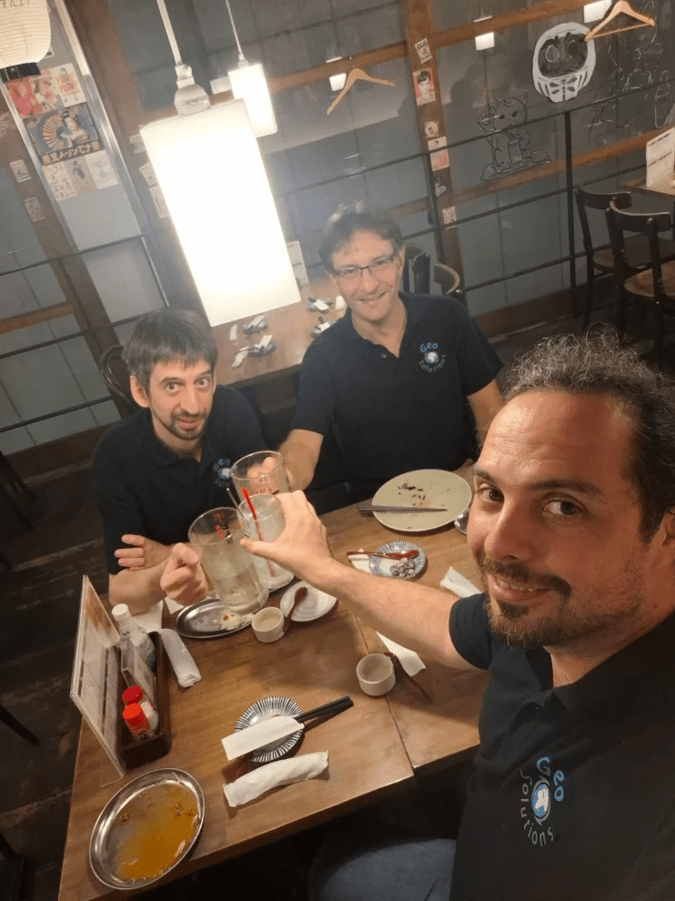
Thanks to the organizers of FOSS4G Hiroshima 2026 for a great event, and to everybody who stopped by our booth or joined our sessions. See you at FOSS4G North America 2026 in Sacramento in November.
If you are interested in learning about how we can help you achieving your goals with open source products like GeoServer, MapStore, GeoNode and GeoNetwork make sure to talk to us!
The GeoSolutions team,
