

Enterprise Support Services

Boost geospatial open source adoption throughout your enterprise
GeoSolutions provides you with expertise for building enterprise-class Spatial Data Infrastructures leveraging on best-of-breed Open Source geospatial frameworks: GeoServer, GeoNetwork, GeoNode and MapStore.

Robust and reliable open source products
Your enterprise-class Spatial Data Infrastructures (SDI) must be performant and reliable.
We support open source geospatial products with proven track record robustness and reliability.

GeoServer is the lead open source server to publish geospatial data at scale. GeoServer is a robust solution for management and disseminating geospatial data according to the OGC, ISO and INSPIRE standards. Organizations use GeoServer to serve petabytes of data, from point data (e.g. real-time world wide ship positions) to massive earth observation data.

GeoNode is an open source geospatial Content Management System which provides out-of-the-box components and functionalities to create a complete Spatial Data Infrastructure (SDI) to ingest, style, browse, visualize, publish and disseminate geospatial data. Organizations use GeoNode to easily setup a Geospatial Portal to enable users to share, preview and visualize data.

MapStore is an innovative open source web mapping solution to create, save, browse and share in a simple and intuitive way maps, dashboard and stories created using content from sources server like OGC WMS, OGC WFS, OGC CSW and more. It is based on modern javascript technologies, enabling developers to easily customize it.

GeoNetwork is an open source catalogue server for the management and dissemination of Geospatial metadata according to OGC, ISO and INSPIRE standards. GeoNetwork has been successfully used in distributed environments federating catalogues and enabling remote searching.
Let’s build your geospatial infrastructure together
We offer different support plans to suit your company’s needs.
The right solution for organizations willing to test open source geospatial.
- 50 Service Hours
- 2 Days Resp Time
- Impl Expert, BugFix
- + Oracle, SQL Server
For building or restructuring a mid-size geospatial infrastructure.
- 100 Service Hours
- 1 Day Resp Time
- + App Development
- + Oracle, SQL Server
For building or restructuring an enterprise class infrastructure.
- 200 Service Hours
- 1 Day Resp Time
- + App Development
- + Oracle, SQL Server
For organizations that need additional security, control, and support.
- 400 Service Hours
- 1 Day Resp Time
- + App Development
- + Oracle, SQL Server
Interested in knowing more?
Your goal
“I want professional support for my projects that includes consultancy, mentoring, performance improvement and features development from renowned professionals with proven expertise!”
Our Support
- Help directly from the core experts
- Priority bug fixing
- Support for any spatial DBMS
- Dedicated mailing list and ticket portal
- Voice support
- Performance Tuning and Enterprise Security
Who we are
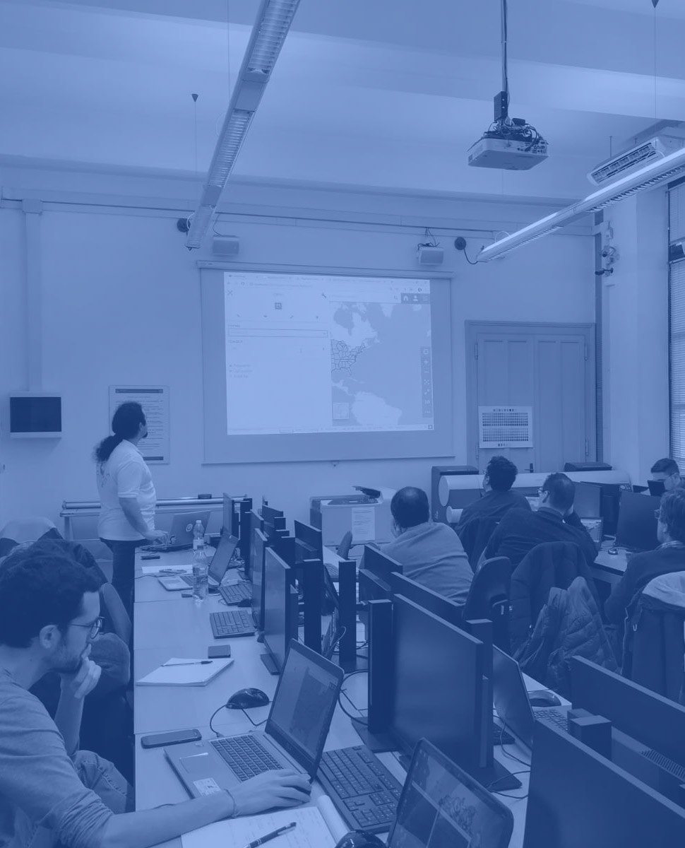
GeoSolutions is one of the world’s leaders in supporting open source geospatial software. GeoSolutions has been providing robust solutions since 2006 to more than 200 satisfied customers world wide. The GeoSolutions team is composed of main contributors of GeoServer, GeoNetwork, MapStore and GeoNode and other popular open source projects. GeoSolutions actively participates in OGC Working Groups and are continuously being funded by the OGC Innovation Program to advance industry open standards. GeoSolutions, not only implements OGC standards, but also those published by the ISO Technical Committee 211 for documenting, processing and disseminating raster and vector geospatial data.
Let’s talk!
Fill the form below and a sales representatives will get in touch shortly.
Your data will be processed according to our privacy policy.