Open Source.

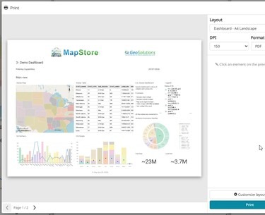
A MapStore dashboard laid out as a printable A4 page in the Print Composer preview

Print Composer for MapStore and GeoNode, built on the GeoServer stack: the crowdfunding campaign is open

Dear Reader, Printing in MapStore and GeoNode still relies on an ageing integration with MapFish Print 2, built around a single map. Dashboards, GeoStories and multi-page documents cannot be printed properly. This year we built a working prototype of a new Print Composer: design the page, preview it live, print it. Maps, dashboards, GeoStories and atlases with one page per feature, rendered by a new open-source print engine built on GeoTools. You can see it in action in the 5-minute demo. Atlas mode: one layout, one page per feature. Watch the full demo on YouTube. Now we want to bring...

More
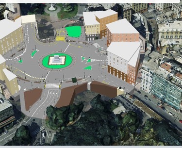
Genova urban digital twin in MapStore: BIM project model placed in the 3D city mesh

Meet GeoSolutions at Smart City Expo World Congress 2026 (Hall 2, Stand C161): open source geospatial platforms for cities

Dear Reader, From November 3 to 5, 2026, GeoSolutions will be at Smart City Expo World Congress in Barcelona, Fira Gran Via, as part of the Italian Pavilion organised by ITA, the Italian Trade Agency. You will find Eleonora Fontana and the GeoSolutions team in Hall 2, Stand C161. If you are planning to attend and want to talk about geoportals, urban digital twins or open data infrastructure for your city, write to sales@geosolutionsgroup.com and we will book a slot at the stand. From inspiration to implementation The theme of this year's congress is "From Inspiration to Implementation", and it...

More

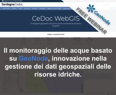
FREE Webinar: Il monitoraggio delle acque basato su GeoNode, innovazione nella gestione dei dati geospaziali delle risorse idriche.

Cari lettori, questo post è in italiano perché tratta di un webinar che si rivolge soprattutto alla comunità GIS italiana. Dall'inizio degli anni 2000, il sistema informativo CeDoc (Centro Documentazione Bacini Idrografici), sviluppato dalla Regione Sardegna, utilizza la tecnologia GIS per visualizzare e distribuire dati relativi al monitoraggio e alla classificazione delle acque superficiali e sotterranee in Sardegna. Il recente aggiornamento dello stack tecnologico di base e il passaggio alla piattaforma OpenSource GeoNode hanno migliorato significativamente l'organizzazione, l'aggiornamento, la caratterizzazione e la pubblicazione dei dati di monitoraggio e qualità delle acque della Sardegna, rendendo l'intero processo molto più efficiente. [caption...

More

FREE Webinar: MapStore 2025.01 release

Dear Reader, Join us on September 30th 2025 at 9:30am Eastern US / 3:30pm Central Europe Summer Time (CEST), for the next free webinar as part of the GeoSolutions instructional webinar series on open-source software products, including GeoServer, GeoNode, and MapStore. On September 30th we will be featuring MapStore and it will be dedicated to the latest MapStore 2025.01 release (here the full blog post). This live session will give you the opportunity to explore new features, see them in action, and interact directly with our team during the Q&A.  You can register here below for free! What You Will...

More
ASITA 2018

GeoSolutions presente ad ASITA 2022

GeoSolutions sarà presente alla conferenza nazionale ASITA dal 20 al 24 Giugno 2022 a Genova con un proprio stand, dove vi aspettano per parlare di come poter soddisfare i vostri bisogni attraverso i nostri prodotti Open Source GeoServer, MapStore e GeoNode ed attraverso i nostri piani di supporto professionale e consulenza. Durante la conferenze i tecnici di GeoSolutions prenderanno parte Martedì 22 Giugno dalle ore 11:00 alle ore 13:30 alla sessione parallela "L’uso del software geografico libero nella Pubblica Amministrazione: realtà (ancora) o sperimentazione?" con un intervento dal titolo "Il Geoportale del Comune di Genova: progettazione, implementazione e lessons learned" con Tobia Di Pisa....

More