

Transition to Open Source GIS

Avoiding vendor lock-in?Reducing license spending?Better interoperability?
Open source to the rescue!
Whether you are willing to transition away from proprietary products or you want to create an hybrid geospatial platform mixing proprietary and open source products, GeoSolutions provides unparalleled expertise to help you with building enterprise-class GIS mapping and analysis web platforms based on the best-of-breed open source geospatial frameworks like GeoServer, GeoNetwork, GeoNode and MapStore.
Choose open source and save on licensing costs, improve your support to open standards, and open possibilities for easier customization. Changing has never been easier!

Our products
Build a robust GIS platform
Robust and widely used open source products are available for you to transition from or complement proprietary products.

GeoServer is the leading product to publish geospatial data at scale. GeoServer is a robust solution for disseminating geospatial data according to the OGC and INSPIRE standards. Organizations use GeoServer to serve petabytes of data from real-time world wide ship positions to massive earth observations. It can talk to Oracle, SQL Server, MongoDB, SAP Hana, DB2 and more.

GeoNode is an open source geospatial Content Management System which provides out-of-the-box components and functionalities to create a complete Spatial Data Infrastructure (SDI) to ingest, style, browse, visualize, publish and disseminate geospatial data. Organizations use GeoNode to easily set up a Geospatial Portal to enable users to share, preview and visualize data.

MapStore is an innovative open source web mapping solution to create, save, browse and share in a simple and intuitive way maps, dashboard and stories created using content from sources server like OGC WMS, OGC WFS, OGC CSW and more. It is based on modern javascript technologies, enabling developers to easily customize it.

GeoNetwork is an open source catalogue server for the management and dissemination of Geospatial metadata according to OGC, ISO and INSPIRE standards. GeoNetwork has been successfully used in distributed environments federating catalogues and enabling remote searching.
Our services
Let’s work together!
We offer different services to meet your needs.
We provide you with expertise for building enterprise-class spatial platforms leveraging on best-of-breed Open Source geospatial products like GeoServer, GeoNetwork, GeoNode and MapStore.
- Services hours for design, development, deployment
- Assured Response Time
- Spatial DBMS Supported
- Voice Support Included
- Dedicated Support Portal
The best solution to improve service continuity of your GeoServer, GeoNode or MapStore deployment and maximize your investment in open source geospatial products.
- Certified Deployment
- Assured Incident Resolution
- Assured Response Time
- Dedicated Support Portal
- Proactive Monitoring
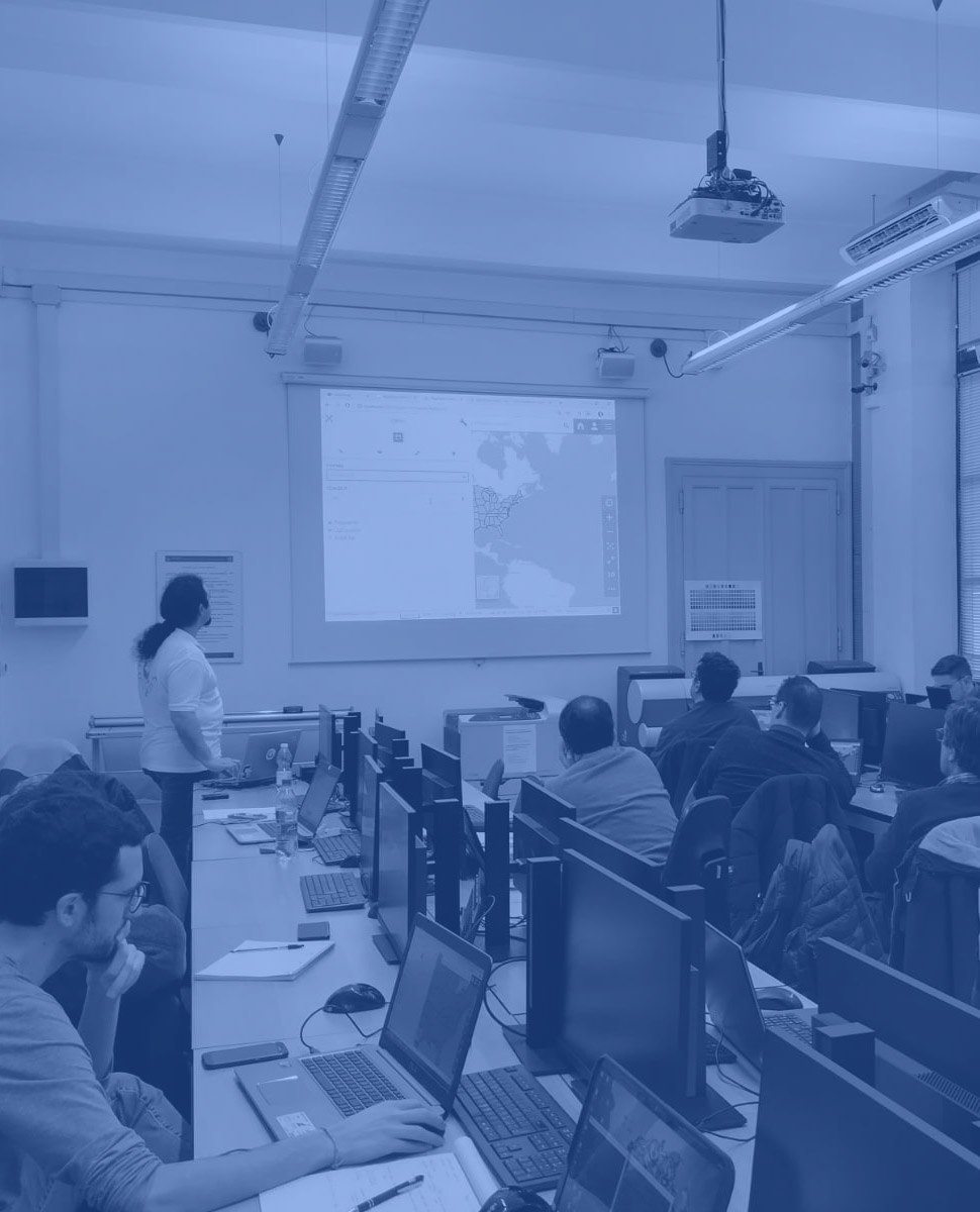
We provide professional training on GeoServer, GeoNetwork, GeoNode and MapStore. Learn from the experts who are behind these open source technologies.
- 15+ Training Classes
- Learn about advanced configuration
- Information on tuning and scaling
- Online classes available!
Our method
We design and tailor the best solution for you
Switching from or complementing proprietary products using open source products requires proper planning.
With our support you can be confident that everything will go smoothly from beginning to end.
Our work flow includes the following steps:

Analysis
We examine the current state of your geospatial infrastructure

Project Definition
We define together goals and features of the new system according to your needs.

Solution Development
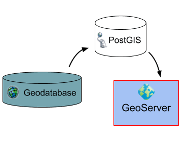
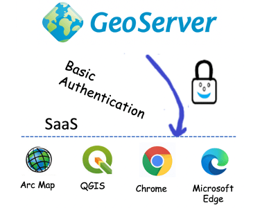
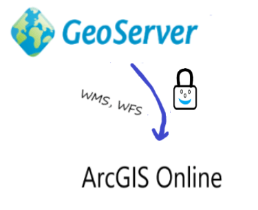
We migrate the data, styles, workflows, implement authentication systems etc. A Certified deploy is provided.

Subscription
After the deployment we provide dedicated deployment warrant with analytics and proactive monitoring.
Who we are
About GeoSolutions
GeoSolutions is one of the world’s leaders in supporting open source geospatial software. GeoSolutions has been providing robust solutions since 2006 to more than 200 satisfied customers world wide. The GeoSolutions team is composed of main contributors of GeoServer, GeoNetwork, MapStore and GeoNode and other popular open source projects. GeoSolutions actively participates in OGC Working Groups and are continuously being funded by the OGC Innovation Program to advance industry open standards.
Contact us
Get a quote!
Fill the form below and a sales representative will get in touch shortly.